
Hiking the Angeles Crest: What Goes Wrong and How to Avoid It
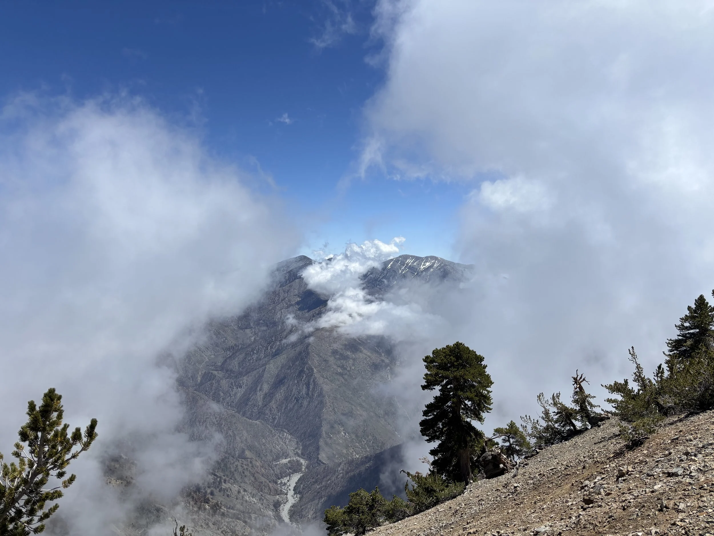
Summit of Mt Baden-Powell (Mt Baldy in distance)
The Angeles National Forest is one of the most accessible wild places in Los Angeles — and one of the most unforgiving for unprepared hikers. Here's what Search and Rescue teams encounter most, and what you can do to make sure you're not one of those calls.
The Two Most Common Reasons People Need Rescue
Search and Rescue data from the Angeles National Forest points to two dominant scenarios:
1. Lost or Disoriented Hikers
The most frequent SAR calls involve hikers who leave the marked trail — sometimes intentionally looking for a shortcut, sometimes following an unofficial "social" trail, sometimes simply losing the path in rugged terrain. What makes the Angeles Crest particularly dangerous is that cell service disappears the deeper you go into the forest, and the terrain rises sharply from the LA basin. People who are late returning, can't be reached, and can't find their way out can be stranded for hours or days.
2. Injuries and Physical Emergencies
Poor traction, loose talus and scree, steep eroded switchbacks, and fatigue combine to make falls and slips more common than most people expect. Heat exhaustion, dehydration, and injuries that prevent a hiker from walking out are also regular reasons teams are deployed.
The good news: both categories are largely preventable with preparation.
Before You Go: Leave a Plan
Always leave a trip plan with someone who isn't hiking with you. That means your trailhead, your intended route, and the time you expect to be back. If you don't return on schedule, they know when to make the call.
Navigation: Don't Rely on Cell Service
Your phone won't work in much of the Angeles National Forest. Download an offline map before you leave — not after you lose signal.
A few options:
AllTrails (subscription) — offline maps, progress tracking, and off-trail alerts
Hiiker (free) — offline maps and progress tracking
Organic Maps (free) — shows your location on a downloaded map while offline
For extended backcountry trips, consider going a step further. REI offers a free navigational tutorial —How to Use a Compass — that covers map and compass basics. Knowing how to navigate without a device is a skill worth having before you need it.
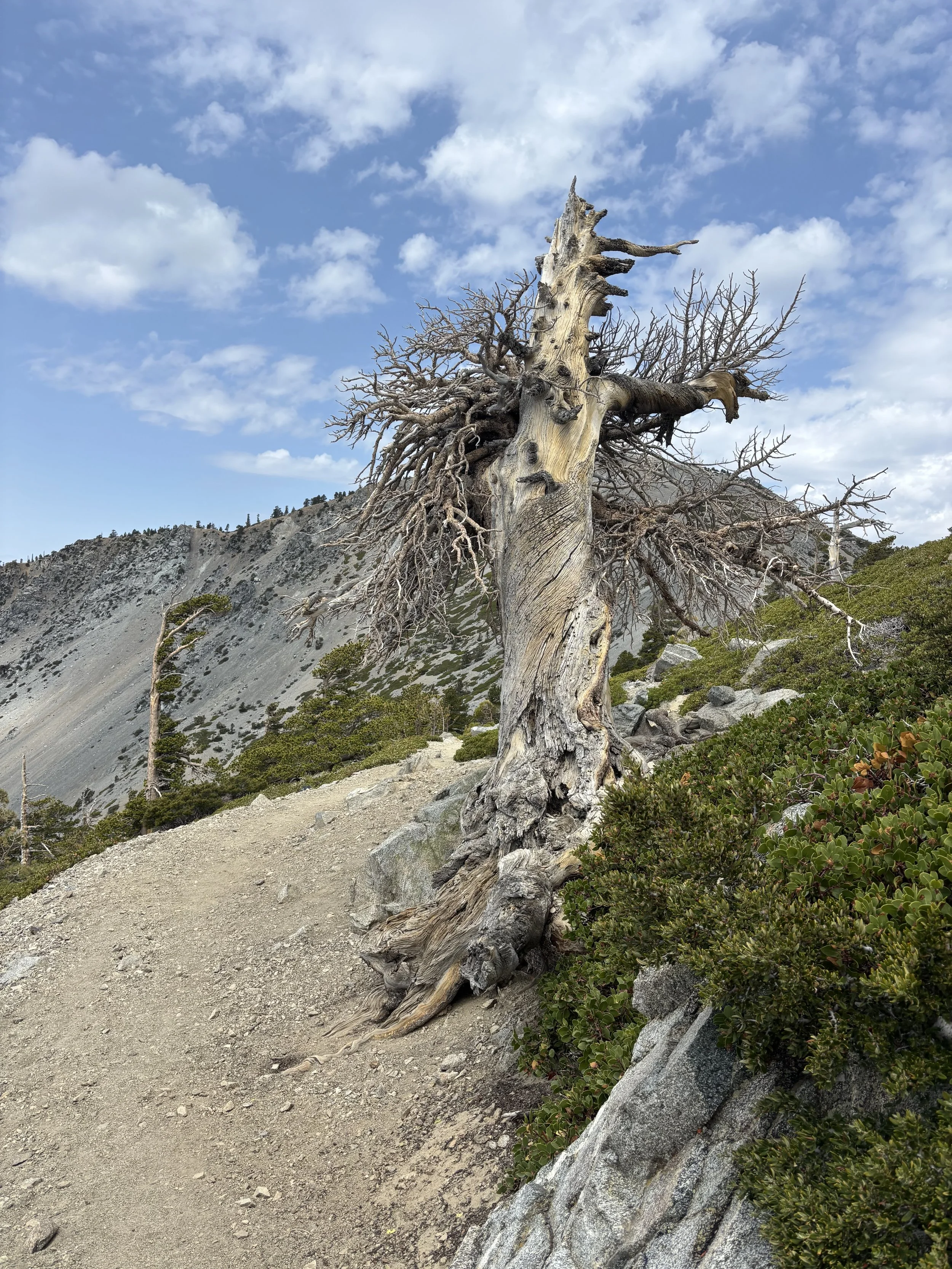
Devils Backbone Trail
Footwear: More Important Than People Think
I've been on hikes where I've watched someone's shoe sole separate mid-trail on a pair of old Nikes. The fix — duct tape — gets them out, but only barely. Footwear failures on slippery terrain are a real injury risk.
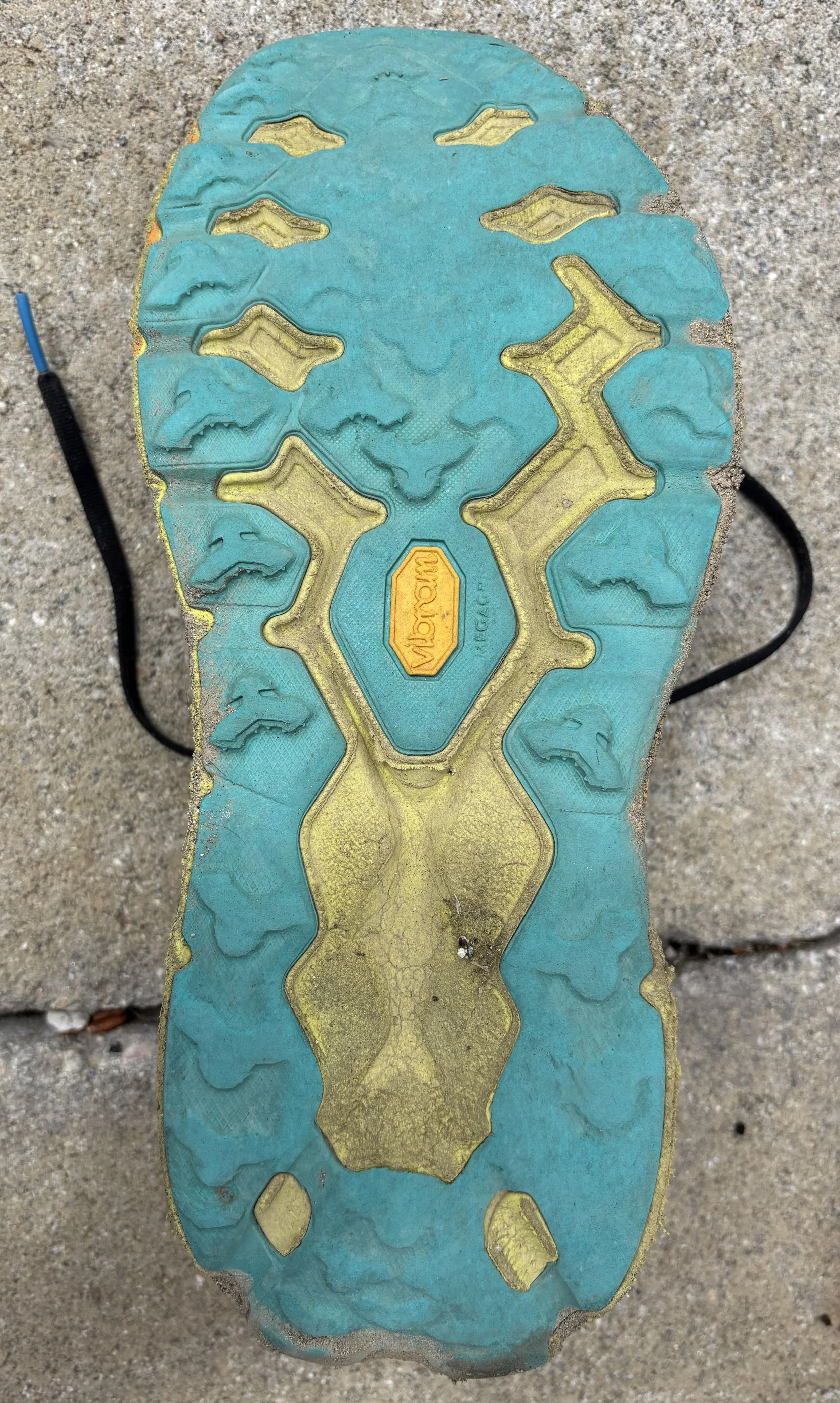
Worn trail shoe
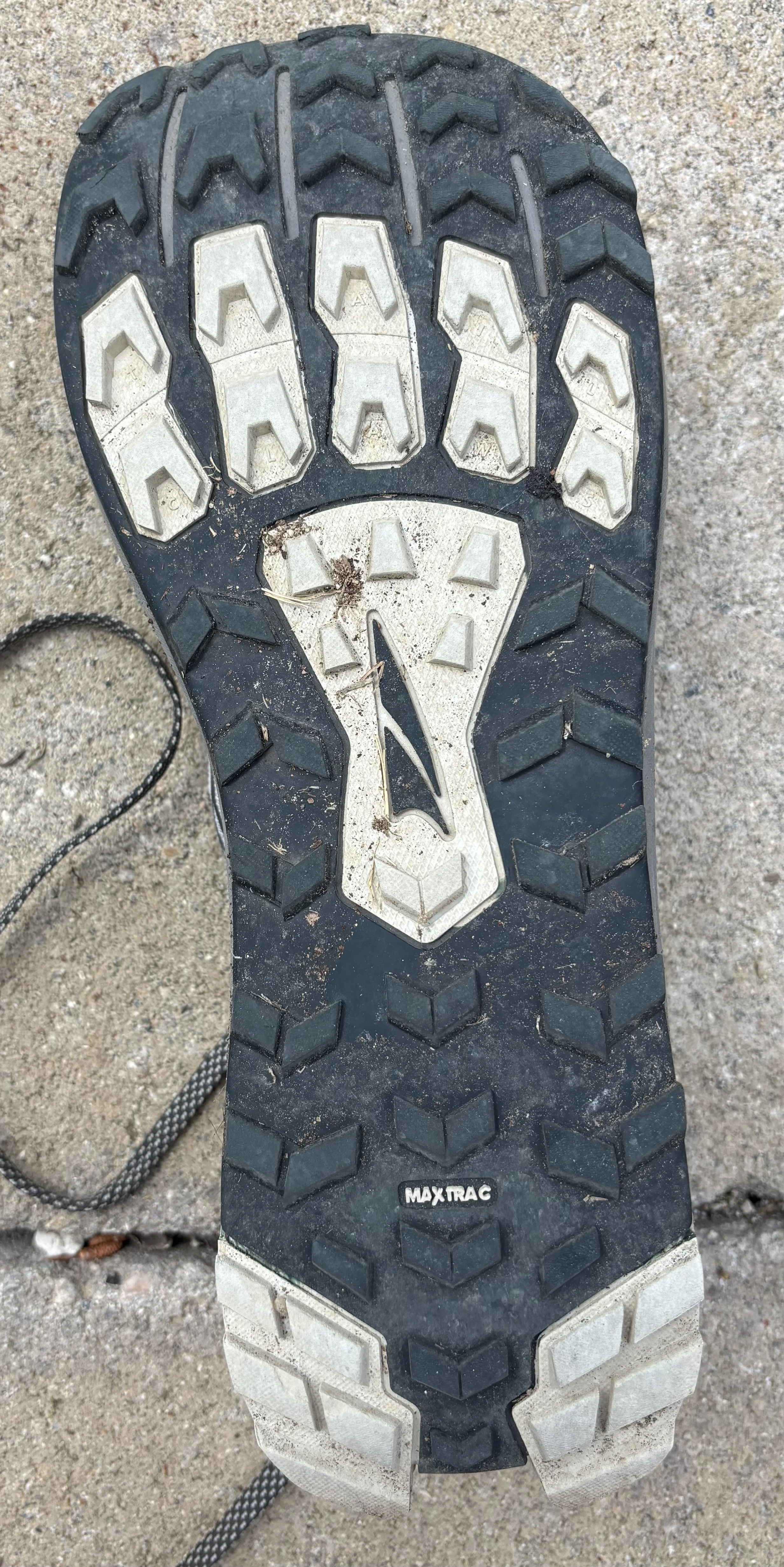
Trail-ready tread
What to look for before you go:
Trail or hiking shoes with aggressive tread (Vibram soles are a reliable benchmark)
Check your tread before every trip — worn smooth is worn out
Avoid road shoes or smooth-soled sneakers entirely on Angeles Crest terrain
REI Outlet and most online gear retailers carry solid options across a wide price range. This isn't an area to cut corners.
Physical Conditioning: An Honest Check
The Angeles Crest rises sharply. If you're not used to elevation and sustained climbing, it will find you out. Before heading into the mountains, do a quick self-assessment: walk up one or two flights of stairs and pay attention to how your breathing responds. Take a brisk five-minute walk and notice how your legs feel. If either feels harder than expected, spend some time building up locally before heading into exposed terrain.
During your annual physical, let your doctor know your outdoor plans — they can give you a clearer picture of where you are and what to work on.
On the trail: drink consistently and eat before you're hungry. The Angeles Crest is exposed. Know where water sources are on longer routes and check weather conditions before you leave.
The Angeles Crest Is Worth It
It's a genuinely beautiful place to hike — and more rugged than it looks from the basin below. With the right preparation, a clear plan, proper gear, and someone who knows where you are and when to expect you back, it's also a very manageable adventure.
If you'd like help building a detailed plan for a specific route or outdoor goal, reach out — that's exactly what we're here for.
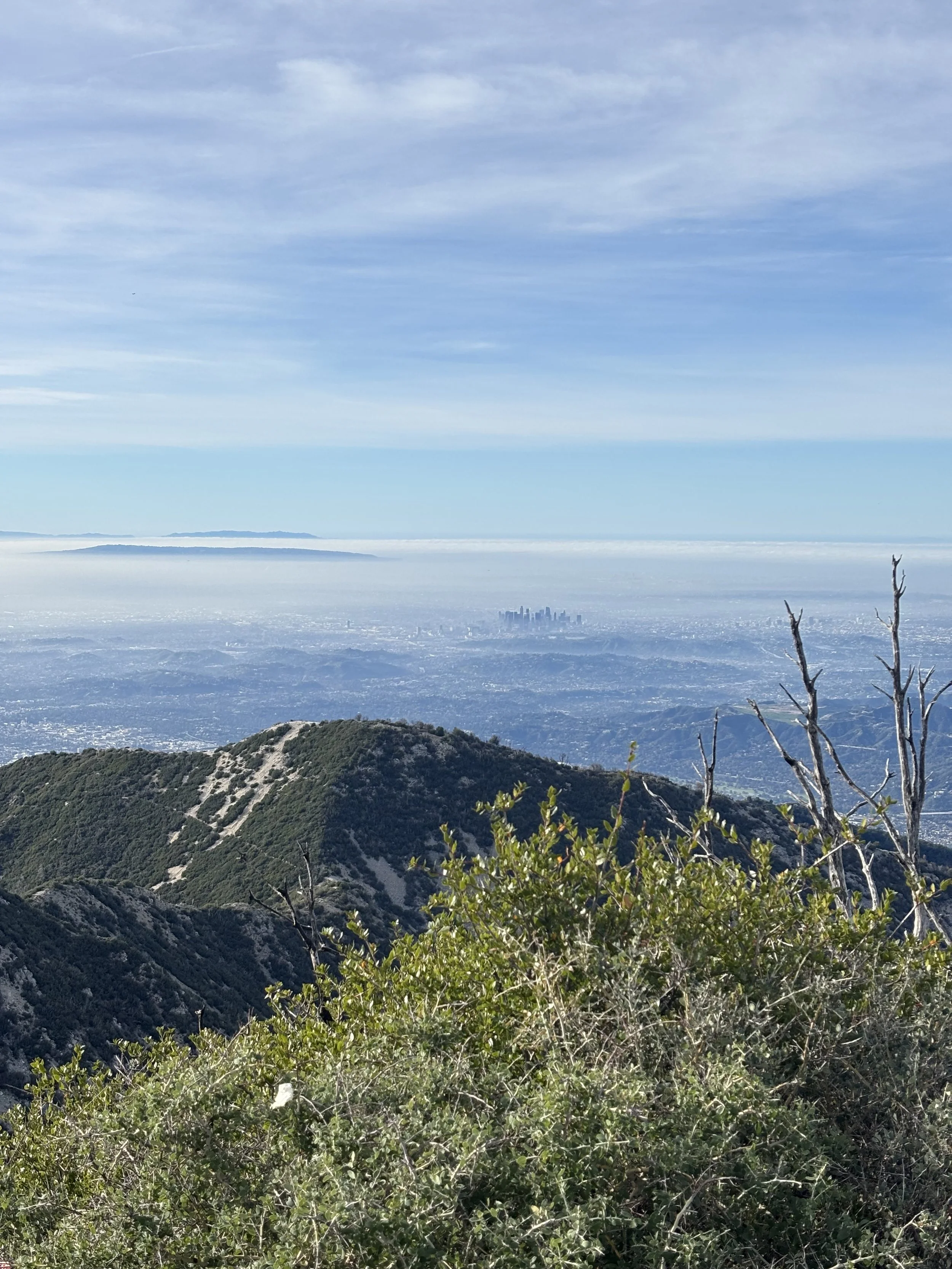
Near Summit of San Gabriel Peak (View of DTLA, Palos Verdes and Catalina Island)
The information in this post is for general informational purposes only and does not constitute professional outdoor, medical, or safety advice. Hiking involves inherent risks — always assess your own abilities and conditions before heading out.
